


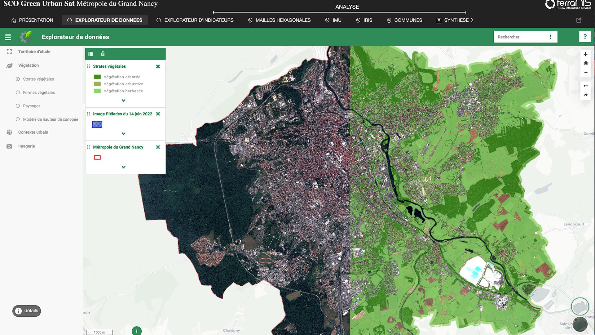
Green Urban Sat
GUS, an observatory for urban vegetation
Learn more ➔
SCO Call for projects 2025
SCO Call for projects 2025
Learn more ➔
Quarterly subscription 14
"Monitoring air quality from space", soon to be the 14th Quarterly meeting of SCO France
Learn more ➔
ALTELYS
ALTELYS, combating urban heat islands
Learn more ➔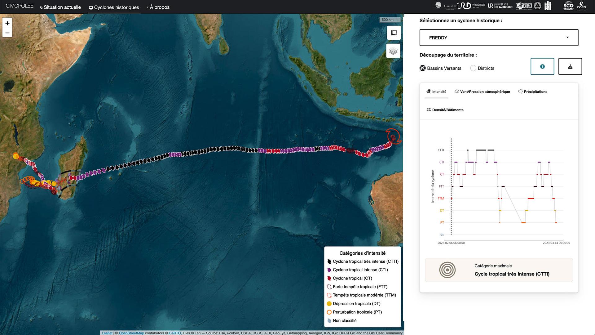
Cimopolée
Cimopolée: the demonstrator is online
Learn more ➔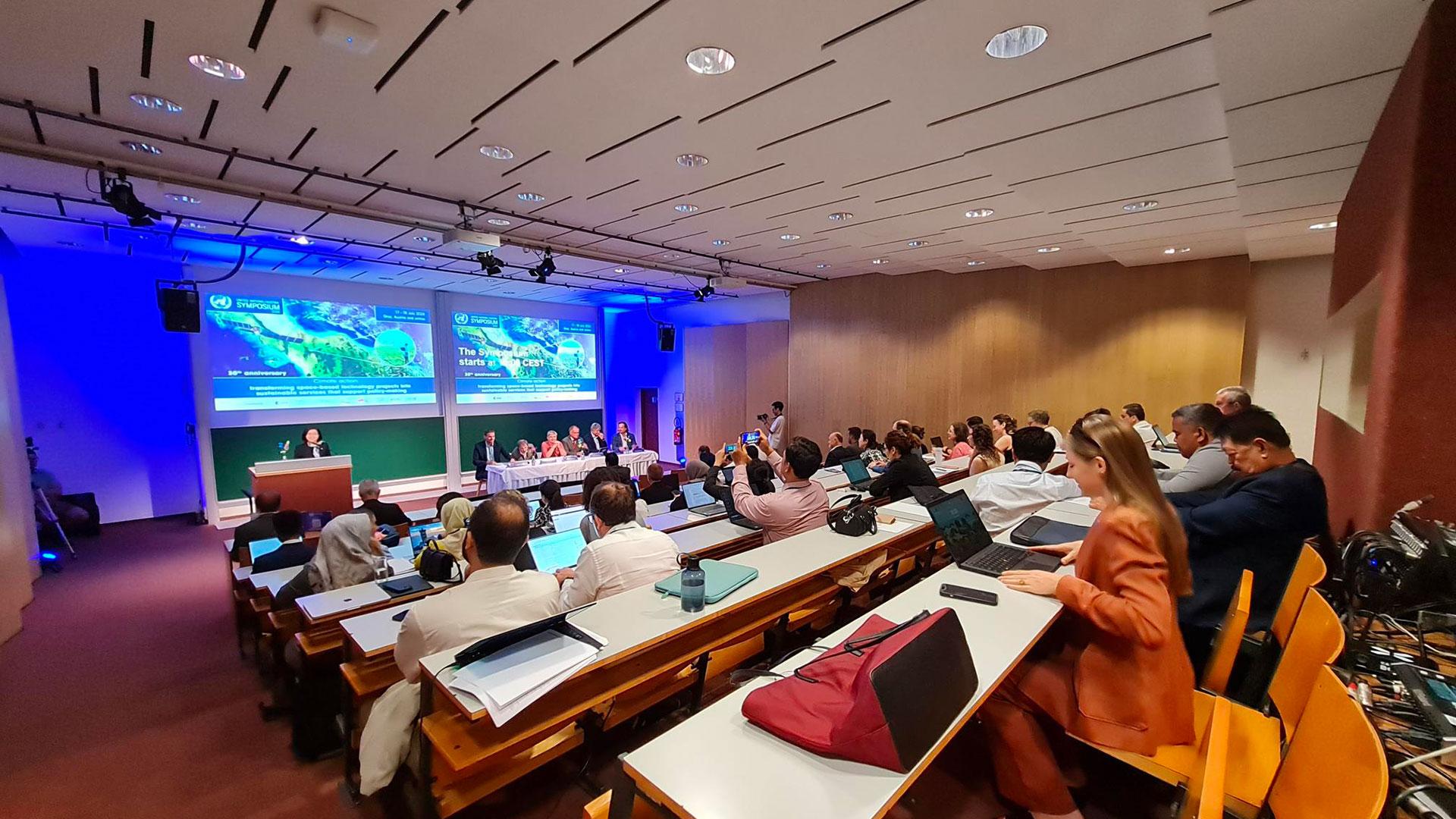
July Symposiums
IGARSS and UN/Austria Symposium, two major events
Learn more ➔
11th CIO SCO France
11th SCO France meeting
Learn more ➔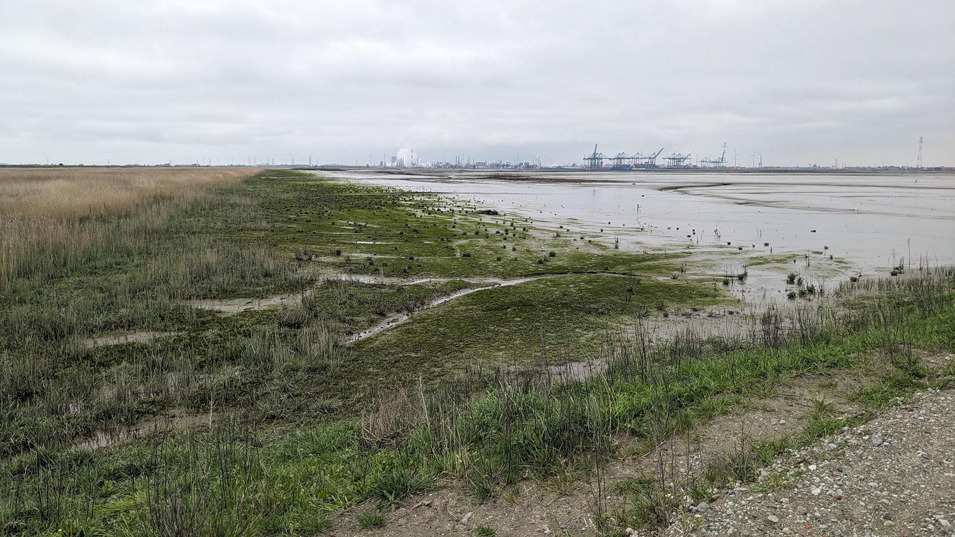
EO4Wetlands
EO4Wetlands, a further step towards satellite-guided depoldering monitoring
Learn more ➔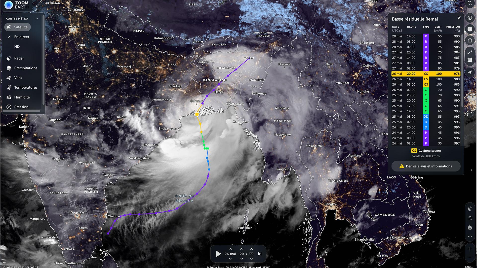
BandSOS
Use case: BandSOS put to the test by Cyclone Remal
Learn more ➔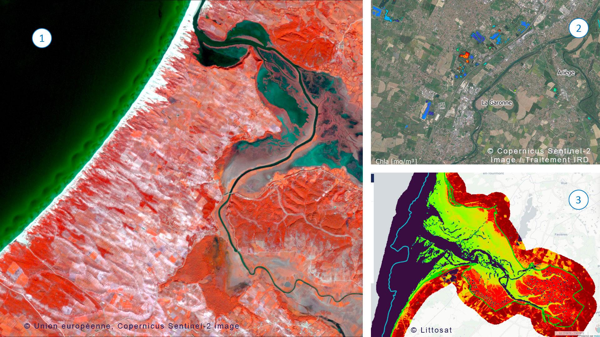
13tn Quarterly Meeting
-
Green Urban Sat
GUS, an observatory for urban vegetation
Learn more ➔
SCO Call for projects 2025SCO Call for projects 2025
Learn more ➔
Quarterly subscription 14"Monitoring air quality from space", soon to be the 14th Quarterly meeting of SCO France
Learn more ➔
ALTELYSALTELYS, combating urban heat islands
Learn more ➔
CimopoléeCimopolée: the demonstrator is online
Learn more ➔
July SymposiumsIGARSS and UN/Austria Symposium, two major events
Learn more ➔
11th CIO SCO France11th SCO France meeting
Learn more ➔
EO4Wetlands