

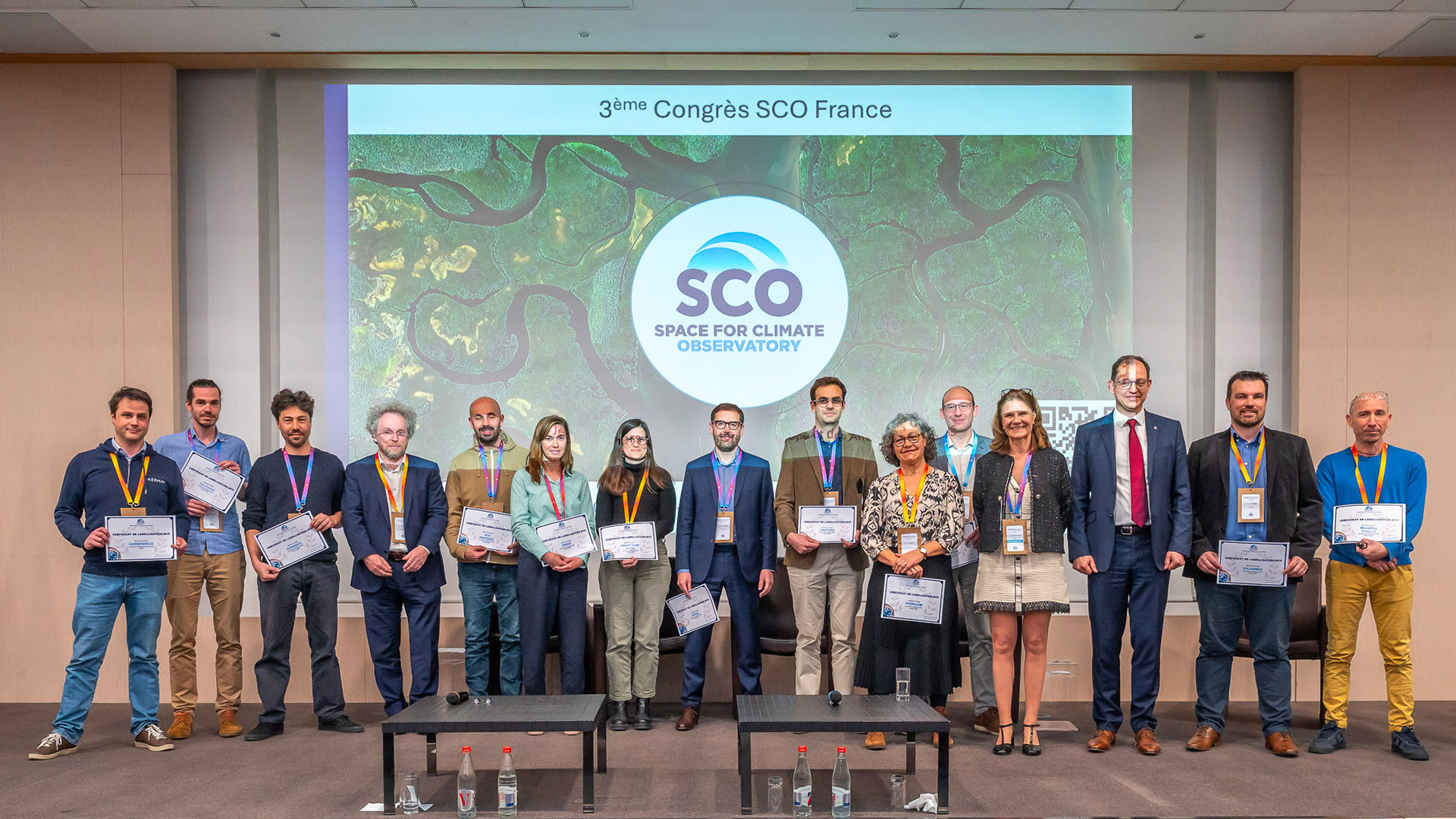
SCOFrance
16Accredited projects in 2025
Agriculture
Forests
Water management
Costal areas
Land use
Response to natural disasters
Carbone storage
Urban adaptation
Previous editions2024, 2023, 2022, 2021, 2020
Next call for projectsSeptember 1, 2025
Key words2025 edition, projects France, SCO label
SCO France : 2025 Edition
Check this article regularly, we'll link project presentation pages as they come online.
- VulAnMex, Vulnerability Analysis in Mexican agricultural areas
Supported by Instituto Politécnico Nacional and MEOSS
Mexican agriculture is suffering from variations in rainfall and drought, with a 40% drop in corn production in central Mexico by 2023. The government therefore needs precise data on the impact of climate change on agriculture.
The VulAnMex project exploits data from the National Polytechnic Institute of Mexico and the Mexican Space Agency to adapt to Mexico a map generator developed by the French company MEOSS. Combining satellite imagery and field surveys, the application will provide key information on agricultural areas in central Mexico. Users will be able to consult drought conditions, the location of irrigated plots and stored water levels in real time.
- Clic’ Forest, CLImate Change and FOREST health
Supported by TerraNIS
As carbon sinks, French forests are seeing their health affected by the intensification of extreme climatic phenomena (drought, heat, storms). In response, the Clic’ Forest project aims to map forest dieback and analyze forest vulnerability using Sentinel-2 satellite images and geo-spatial data.
Focusing on spruce in the Grand Est region and oak in the Centre-Val de Loire region, Clic’ Forest will analyze the impact of environmental and climatic conditions on forest degradation. An interactive online tool will feature dieback and vulnerability maps, as well as dynamic indicators. It will enable forest managers to assess risks and adapt their actions at different scales.
- MangMap 2, Evolution of satellite-based mangrove monitoring services
Supported by IRD (Institut de Recherche pour le Développement)
Mangroves play an essential role in the balance of coastal ecosystems, but their surface area has shrunk by 30-50% in 50 years, a deterioration exacerbated by climate change. Launched in 2021 by the IRD, the Mangroves project aims to monitor and preserve these ecosystems. Using Sentinel-2 satellite images from the Copernicus program, an interactive platform called MangMap has been developed to monitor the state of mangroves at five sites (surface evolution, habitat inventory, etc.).
MangMap 2 plans to extend this platform to other regions and add new features, such as deforestation alerts and tracking of restored areas. It also aims to improve the user experience and animate the user community.
- SCOup, Satellite Canopy Observation for forest Understanding and Protection
Supported by GlobEO
Forests, a pillar of ecological balance and a major economic resource, are under threat from climate change. In mainland France, 5% of the total forest area is in a state of decline. It is therefore vital to detect the intensity and extent of this decline.
With this in mind, the SCOup project proposes to develop new decision-making tools based on Sentinel-1 and 2 data. A dedicated website will provide forest dieback maps for forest management stakeholders. The idea is to optimize the use of satellite data so as to be able to direct field workers directly to affected areas, thereby limiting confusion with clear-cut areas.
- CAHYSPA, Central Asia HYdrology from SPAce
Supported by LEGOS
Water management in Central Asia is a major challenge for guaranteeing supplies to countries upstream and downstream of the Syr Darya River. This essential resource is under great pressure, not least because of its strategic importance for irrigation, hydropower and drinking water supply. However, management of the Syr Darya is becoming increasingly complex due to the effects of climate change, which modifies its flow through phenomena such as accelerated glacier melting, droughts and seasonal variations in precipitation. Added to this are geopolitical issues, with riparian countries having diverging interests in the exploitation of this shared resource.
To meet this challenge, the CAHYSPA project will be based on the SAGUI platform produced during the SCO OpHySe and OpHySe-MOCHA projects. Using Earth observation data (Copernicus, SWOT...) and in-situ data, a platform providing information on the Syr Darya river (water level, flow, storage, quantity used for irrigation) will be developed. This will facilitate the transparent exchange of information between Central Asian countries, for optimized water management.
- PrEMHyOM, Precipitation Estimation and Mapping for Hydrological Operational Monitoring
Supported by IRD (Institut de Recherche pour le Développement)
Variations in precipitation, whether excessive or insufficient, have a strong influence on watersheds. Yet rainfall records in the field remain inadequate, particularly in intertropical regions. Satellite data, although useful for filling these gaps, are still difficult to exploit locally.
The PrEMHyOM project aims to remedy this problem by developing a service providing rainfall information tailored to inter-tropical basins. It is based on satellite data and information from urban telecommunications networks. This service will take the form of an interactive platform offering precise maps to monitor flood risks in urban areas and improve hydrological analysis of basins.
- RESPECT, REmote Sensing of Pressure Erosion on Costal ecosysTems from New Caledonia
Supported by CNRTEC (Centre du Nickel Recherche Technologie Environnement Compétitivité)
The Respect project is the first phase of a programme that aims to protect the lagoon, the Caledonian coastal strip, its biodiversity and the well-being of the inhabitants. It is based on the development of a tool enabling territorial managers to better understand sedimentary creation in the catchment area that will flow through rivers and estuaries, in order to combat more effectively the evolution of the coastline and the increase in the turbidity of the lagoon water, natural pollution.
By combining satellite and meteorological data with field surveys on the erodibility of the watershed's soil, this tool will be able to simulate the impact of climate change (landslides, etc.), anthropogenic pressure (mining operations, etc.), and biodiversity imbalances (deer overpopulation, etc.) on the lagoon, particularly in the face of fires and heavy rains. It will thus help to identify the most vulnerable areas and guide local conservation initiatives, particularly in the key basins of Thio and Kopiambo.
- GULI, Geospatial Urban Littoral Intelligence
Supported by The Climate Company
At a time when coastal cities are highly exposed to the risks associated with climate change, the GULI project aims to develop a tool for anticipating climate-related coastal risks (coastal erosion, marine submersion, etc.) and steering adaptation actions.
In the form of a dashboard, the tool will combine various indicators obtained in particular via satellite data. Maps and figures will be made available to end-users, helping them to identify and prioritize adaptation actions. Early warning systems will be developed to anticipate the onset of extreme climatic events. Towns affected by these risks, and in particular initially the town of Le Lamentin in Martinique, will then have a genuine decision-making tool.
- LITTOSAT SA, Satellite monitoring of the South African coastline
Supported by Hytech-Imaging and SANSA
Coastal zones, rich in biodiversity and natural resources, play an essential role for the populations that depend on them. To better preserve these environments, managers need effective monitoring tools. For this reason, Hytech Imaging has launched the SCO LITTOSAT project in 2022, in Brittany and Normandy (France), to observe the evolution of coastal vegetation and measure the effects of climate change.
The LITTOSAT-SA project now aims to extend this monitoring to South Africa, building on the existing infrastructure. It will provide local players with coastal maps and vegetation monitoring indicators. The data offer will be enriched, while new functionalities will enhance the LITTOSAT viewer, which will evolve into a truly interactive dashboard.
- COSIADES, Artificial Intelligence Ground Cover Maps
Supported by TerraNIS
In-depth knowledge of territories through their land use is essential for strengthening the adaptation and resilience of populations and ecosystems to climate disruption. It makes it possible to understand, analyze and monitor territorial specificities over time, and thus to guide development projects and local policies in a targeted and sustainable manner.
Currently, the AI-type algorithms used to generate land cover classifications are learned from national orthophotos and digital surface models produced every 3 years and are only available for France. The aim of the COSIADES project is to automatically produce land use maps on demand from very high resolution (VHR) satellite images such as Pléiades, Pléiades Néo or CO3D. The FLAIR deep learning model will be adapted to work with VHR images. The maps generated will be accessible via a web platform.
- SATLAND, SAtellite Time series analysis for large scale LANd acquisition Detection
Supported by CIRAD UMR TETIS and ALKANTE
Since the end of the 2000s, large-scale land acquisitions have expanded rapidly, particularly in Africa. By changing land use, they contribute directly to deforestation, biodiversity loss and carbon emissions. The Land Matrix platform was created in 2009 to provide a better inventory of these trends.
The SATLAND project aims to provide the Land Matrix community with a national application for tracking and analyzing land use changes linked to land acquisitions. Using Earth observation data, the tool will provide evolution maps and time series. This information will help users to monitor, update and enrich data on land acquisitions in their territories. Implemented in Senegal, performances will be validated in other regions connected to the Land Matrix (Laos/Cambodia, Argentina, Cameroon...), with the aim of extending its use more widely to West African countries.
- SCO Pantanal, Socio-environmental dynamics in the Pantanal wetlands
Supported by CNRS UMR-LETG 6554 and ALKANTE
The SCO PANTANAL project aims to improve the SCO CHOVE-CHUVA platform to adapt it to the specific needs of the Pantanal, a fragile ecosystem. This vast wetland of 150,500 km², rich in biodiversity, is today threatened by climate change and human activity, particularly deforestation.
The SCO PANTANAL project proposes to enrich the digital platform that already provides indicators on socio-environmental dynamics in the Mato-Grosso region, with wetland-specific data obtained through spatial data. The new version of the platform will enable this information to be disseminated openly to researchers, citizens, associations and local authorities involved in the preservation of the Pantanal.
RESPONSE TO NATURAL DISASTERS: 2 projects
- ASGARD, Satellite data assimilation for the prevention and early warning of runoff and associated disasters
Supported by Bluemapping
Runoff is a complex, rapid and often devastating phenomenon, representing a major risk for populations, infrastructures, soils and the quality of natural environments. This phenomenon, amplified by climate change, requires high-performance modeling tools to understand its dynamics and anticipate its impacts.
The ASGARD project aims to enhance the modeling service offered by Bluemapping with information from satellite data. It also aims to extend the application of this technology to geographical areas where field data is non-existent or not widely available. After an initial trial in Paris-Saclay (France), the project will be extended to the whole of the Ivory Coast to assess runoff risks and propose solutions adapted to these territories.
- SIRIOS, Satellite radar interferometry monitoring of linear infrastructure
Supported by SNCF Réseau
The French national rail network (RFN) is particularly affected by climate change, which is having an impact on service quality (train cancellations due to bad weather) and costs. To optimize RFN monitoring processes, which are currently inadequate, the SIRIOS project intends to take advantage of the global monitoring potential offered by satellite data.
By using InSAR data to monitor railway networks, SIRIOS will develop a decision-making tool for network managers. By detecting the precursor signals of disorders (landslides), the tool will help to target field interventions to the right need: this is known as conditional maintenance. This system will pool data between the various railway fields (maintenance, works, design) to reduce costs.
- CARBOSPACE, Carbon Audit and Remote Biomass Observation via Satellite
Supported by KERMAP
Australia, with its vast territories, offers strong potential for CO₂ sequestration. Faced with growing demand for transparency on carbon credits, the CARBOSpace project aims to improve their verification and optimization in the country.
Drawing on satellite data from Copernicus, monitoring technologies from the NIMBO platform developed by KERMAP, and in situ assessment of carbon storage and offset projects by Australian company Carbon Intel, this SCO project will provide a dedicated dashboard for managers, auditors and regulators. It will feature interactive maps, sequestration indicators and automated emissions reports.
- UrbanHeat, Reducing the vulnerability of urban populations to extreme heat
Supported by CNRS and Data Terra
Climate change is exacerbating urban heat waves. To deal with this, local authorities are using tools to assess the vulnerability of populations to urban heat islands and are implementing solutions such as revegetation.
The UrbanHeat project aims to create an on-demand service capable of simulating urban heat vulnerability indices based on global weather forecasts. By combining ground temperature maps, climate simulations (wind, humidity, etc.) and socio-demographic data, it will provide a decision-making tool for the cities of Strasbourg and Metz.