

SCOFrance
Next QuarterlyJune 19, 2025
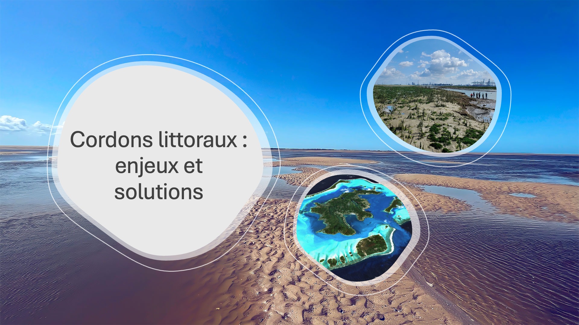
Coastal ranges: challenges and solutions
More than 20% of the world's population currently lives less than 30 km from the coast, and this figure rises to more than 50% as soon as you move a little further out, to 100 km from the shore. Often densely populated, these coastal zones are complex land-sea interfaces. As vital to mankind as they are to the environment, they are, like glaciers, one of the most visible markers of climate change. How can we preserve them and improve their management in the face of climatic and anthropogenic pressures?
On Thursday March 27, 2025, the 16th SCO France Quarterly Meeting welcomed three projects that use a variety of space data to support the very special territories that the coastline represents.
If you have any questions about this quarterly, write to us here.
By Vincent Heurtaux (Geomatys) and Franco Fernandez Lopez (Cerema)
|
Wetlands act as a buffer against flooding and exceptional tides. Experimenting with depoldering on the Belgian-Dutch border, via a breach that allows the sea to reclaim the area, provides EO4Wetlands with a unique opportunity to monitor the natural sedimentation that is taking place via a digital twin. To identify possible impacts of climate change, the project draws on 40 years of satellite observations. |
|
To remember
- The project uses data from around fifteen satellites (of different wavelengths, spatial and temporal resolution), supplemented by in situ data (connected probe and tide gauge).
- The monitoring indicators were determined on the basis of the Saeftinghe wetland and then applied to the depoldered area.
- Combining geographical, hydrological, oceanic and meteorological data, the polder's digital twin allows to visualize, including in 3D, the spatial and temporal evolution of vegetation, soil water content and the limit of the water front.
- In situ measurements show a good correlation with indicators generated from satellite data.
- In the context of climate change, the project has observed, thanks to MODIS images, an increase in NDVI (vegetation index) values in winter since the 2000s, correlated with a decrease in the number of frost days over the period 2000-2025💡 News: EO4Wetlands, a further step towards satellite-guided depoldering monitoring - July 8, 2024
By Simon Déchamps (M2C Laboratory, University of Rouen)
|
Under heavy human and climatic pressure, intertidal zones and their rich biodiversity are natural buffer zones to be safeguarded worldwide. In response to the need expressed by their managers for reliable and accessible data, EO4InterTopo is testing its tool on the intertidal zone of Normandy (France), which is difficult to monitor (15 m difference between high and low tides around Mont Saint Michel). By combining various satellite images, it automates intertidal topographic mapping, its components, its evolution (erosion/accretion) and analyzes the possible impacts of climate change. |
|
To remember
- Satellites used:
- Sentinel-1 (radar) and 2 (optical), SWOT (altimetry): reconstruction of intertidal topography
- Sentinel-2 and Pleiades (THR optical): substrate type classification
- ICeSat-2 (laser altimetry): validation of topographic products
- Two methods (water line and water occurrence) were combined to reconstruct the intertidal topography of the entire Normandy coastline. The study carried out with SWOT shows that the satellite's remarkably precise measurements of water level make it possible to do without the two previous methods.
- Digital terrain models for the years 2018 to 2024 and associated sediment budgets show erosion over the last three years.
- Successfully tested at two sites, the supervised classification of substrate types (sand, rock, etc.) will be applied to the entire Normandy coastline and renewed annually.
- All results and indicators will be freely accessible via an online visualization tool.
💡 News: EO4InterTopo automates intertidal topographic mapping - November 12, 2024
By Rémi Andreoli (BLUECHAM)
|
Polynesia's coastline welcomes homes, rich biodiversity and numerous uses, such as maritime traffic, fishing and tourism. In close collaboration with the Polynesian government's Marine Resources Department, TAHATAI has prototyped a spatial planning tool for the coastline on two islands in 2021, focusing on three areas: water quality, use of the lagoon and coastline, and human pressure on the coast, all in the context of climate change. With the Neo part, it is extending its approach and partnerships to the whole of Polynesia and beyond. |
|
To remember
- Given the vastness of maritime space, the project mobilizes a very large number of satellites, mainly Sentinel and Pleiades, but also commercial suppliers via interoperable APIs.
- All data is capitalized on in an online platform, QVX-PF, where it feeds other services that enable indicators and maps to be consulted, generated and visualized. A dashboard summarizes essential information.
- Examples of on-demand services, including in real time: coastline extraction, water variations in intertidal zones (water occurrence method), land use, boat detection, zonation of uses to characterize anthropogenic pressures, water quality parameters, sea level rise...
- Reproducibility tests have been successfully carried out in other locations with different problems.
- Thanks to the platform's collaborative space, over 200 active users express a 99% satisfaction rate.
💡News : TAHATAI Neo takes shape - April 30, 2024