

Applications Toolbox
Below are the tools developed and delivered by the SCO projects.
Mangrove operational monitoring
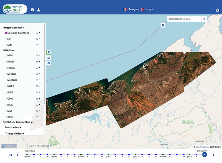
Developed as part of the Mangroves project, MangMap is a mapping portal for operational satellite monitoring of mangroves, designed for scientists and institutional players working to preserve and enhance this ecosystem.
Based on standardized products produced continuously from Sentinel-2 time series since 2018 (10 m resolution, renewed every 5 days), the platform provides an interactive dashboard of environmental information at local scales and offers services on demand to users.
🟢 Free access, you need to create a local account (or use your Theia account) to benefit from the full range of services.

Monitoring tropical deforestation
The Tropisco platform provides a near-real-time view of tropical deforestation from 2018 to the present day. Its maps of forest cover loss are updated every 6 to 12 days using radar images from the Copernicus Sentinel-1 satellite.
Aiming for global coverage, Tropisco currently monitors the forests of 7 countries (French Guiana, Suriname, Guyana, Gabon, Vietnam, Laos and Cambodia), which were used to develop the tool.
🟢 Free access