Space4Nature
Using satellites and AI to map habitats
Overview
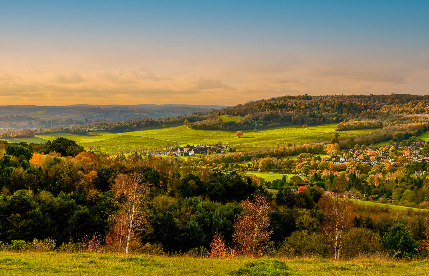
Space4Nature is working within the UK county of Surrey with scalable applications to other regions across the UK. Surrey is one of the most nature-depleted counties in the UK which is, in turn, one of the world’s most nature-depleted countries. Research carried out by Surrey Nature Partnership has revealed that a third of Surrey’s recorded species have either become extinct or are under threat with climate change being a key contributing cause.
Within Surrey, there are large parts of the county with no data or outdated data on habitats. Usually, monitoring is carried out on the ground, which is time consuming, labour intensive and expensive. Collected data quickly becomes out of date, leading to missed opportunities to improve habitats and optimise connectivity. This problem is not limited to Surrey - data on land use and habitat quality and quantity is not available at a national scale. We urgently need a resource efficient method to collect high quality, accurate and up-to-date information about the state of nature in the UK.
Given the scale and urgency of this local and national biodiversity crisis, we are looking to satellite technology to help us accelerate nature recovery on the ground. This includes the promotion of nature based solutions to help address climate, biodiversity and societal challenges for how we live with climate change scenarios in Surrey.
Methodology
The S4N team will use past and current Very High Resolution (VHR) satellite imagery of the selected sites to analyse and map diverse habitats in fine detail. With a key role for machine learning (ML) and artificial intelligence (AI), it will also use ‘ground level’ information gathered by local experts and volunteers to train the model to accurately predict similar pockets of habitat at other sites within Surrey, and to calibrate the satellite imageries. This will enable the team to recognise and pinpoint which areas of land could be joined up efficiently with similar habitats across a wider area.
🎥 Recording of the launch meeting (YouTube)
Application site(s)
United Kingdom:
- Painshill Park
- Quarry Hangers
- Chobham Common
- Puttenham Common
Data
Satellite
- Multispectral: Planet Scope, SkySat, Geoeye, Quickbird, Worldview, GEOSAT, Pléiades Neo
- Radar: SAR satellites images from ICEYE
Other
Ground truthing data collected by Citizen Scientists using Space4Nature app created on ArcGIS Survey 123
Results - Final product(s)
S4N will lead the way in providing a detailed mapping of the test site habitats and will extend this to develop a full picture of connectivity opportunities across the county to scientists and ecologists. This provides the basis for working more holistically with landowners to show and connect together important sites for nature and to build effective networks of habitat enabling wildlife to extend their ranges, access food, and benefit from improved breeding opportunities.
👉 More information on Surrey Wildlife Trust's Space4Nature website
References
- A. Andries, R. J. Murphy, S. Morse, J. Lynch (2021). Earth Observation for Monitoring, Reporting, and Verification within Environmental Land Management Policy
Related project(s)
SCO Cartovege, Remote sensing mapping of habitats in the French Southern Territories


