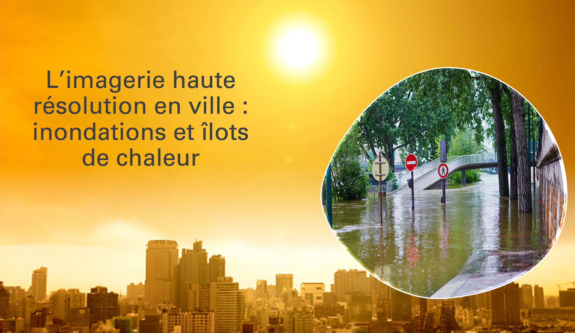
Making the most of high-resolution imaging in the city
Already home to 55% of the world's population, and soon to be more, cities are making a significant contribution to climate change, accounting for almost three-quarters of total emissions, but they are also suffering the impacts. While adapting to climate change is essential for the well-being of their inhabitants, whatever their species, it is just as important for the global fight against climate change, as centers of innovation and solutions. Spatial data is becoming increasingly effective in this area, particularly in terms of High and Very High Resolution.
On Thursday 12 December 2024, the 15th Quarterly Meeting of SCO France welcomed three projects using HR and THR space data to help cities become more resilient to flooding and heat islands. As a preamble, an overview of forthcoming space missions and their data was presented.
If you have any questions about this quarterly, write to us here.
NB: The following videos are in French.
Preamble: What opportunities will tomorrow's space missions offer?
By Hervé Jeanjean (CNES)
|
Between now and 2030, numerous satellite missions equipped with innovative sensors will be providing new data that will undoubtedly be of interest to SCO projects. 3D acquisition and night vision (CO3D), HR thermography (Trishna), carbon (CO2M), forest biomass (BIOMASS), hydrology and altimetry (Sentinel-3-NG Topo), vegetation fluorescence (FLEX)... Find out more about tomorrow's major missions and their possible uses with Hervé Jeanjean. |
|
By Christophe Heudes (Airbus DS) and Emmanuel Brempong (Cerema)
|
As rainfall intensifies, the risk of flooding is exacerbated in urban areas, which are becoming increasingly waterproofed and are expanding with more and more buildings. Focusing on the commune of Grabels near Montpellier (France), P4UF uses only THR images to carry out hydrological modelling of the flood hazard and develop a service for assessing the vulnerability of an environment to this hazard. The project is currently at the half-way stage. |
|
To remember
- The flood hazard is characterized by the height of the water and the speed at which it flows.
- Satellite data used: Pleiades images (50 cm resolution) and Pleiades Neo (30 cm resolution)
- From 8 images acquired between 2012 and 2024, the team is extracting two essential layers of information: buildings and vegetation. Combined with other layers, these will be used to produce a land use map, in which the project looks at the impact of major events (2 floods and 1 fire) on the land use.
- It is on the final land use map that the flooding model will be applied, taking into account topography and rainfall.
💡 News: P4UF: start-up in situ - 11 March 2024
By Georgios Kyriakodis (CSTB)
|
While cities have always had higher temperatures than the surrounding rural areas, this phenomenon, known as the urban heat island (UHI), is being exacerbated by climate change. By cross-referencing spatial data, building data, meteorological data and socio-economic data, Sat4BDNB enriches the French National Buildings Database (BDNB) with indicators linked to urban heat, creating a powerful tool to help public decision-makers carry out an UHI diagnosis and identify priority areas for intervention in this respect. |
|
To remember
- Spatial data can provide information on two main parameters that influence the UHI: albedo (the reflective power of a surface) and vegetation, which cools the air through evapotranspiration and the shade it provides.
- Satellite data used: Sentinel-2, from which the albedo is extracted, and Pleiades, from which the vegetation data is extracted.
- The project generated:
- 5 new urban heat indicators, integrated into the BDNB: maximum intensity of UHI, maximum UHI mitigation potential score of an action, associated investment cost, effectiveness of mitigation solutions, vulnerability to heat stress.
- But also, albedo data generated for the first time on a national scale, as well as land use data at THR.
- All these indicators and data are or will be freely accessible.
💡 News: Cities: Sat4BDNB operationalizes albedo production on a national scale - 26 March 2024
By Vincent Dubreuil (LETG) and Arnaud Bellec (Alkante)
|
Almost every summer, UHIs cause an increasing number of premature deaths in urban areas. To help cities implement resilience plans, ALTELYS is developing automatic mapping of UHIs in near-real time. The project targets two medium-sized towns (20,000 inhabitants), Rennes in France and Presidente Prudente in Brazil, with a view to developing a system that can be replicated elsewhere. |
|
To remember
- Satellite data used: Landsat 8-9 (thermal data) and Sentinel-2 (vegetation data)
- Since satellites measure surface temperature, the project combines this data with data from in situ sensors, which measure and transmit air temperature 2 to 3 meters above the ground in real time.
- These data are used to generate UHI maps that can be viewed via a web interface currently under development. The free-access interface will feature an "expert" and a "novice" profile, making it easy to use for all citizens, schools, etc.
- At the halfway stage, the project plans to prospect the urban matrix using building interior temperatures.
💡News: ALTELYS, combating urban heat islands - 23 August 2024


