Target 2050
Reinforcing urban resilience through renaturation
Overview
Already home to 55% of the world's population and soon to more, urban areas have a dual role to play in the face of climate change: adaptation and mitigation.
The renaturation initiatives undertaken by local authorities provide a pragmatic response to these two challenges. In fact, nature in the city helps to reduce the concentration of CO2 in the atmosphere thanks to the carbon stored by plants, and also makes our cities more resilient in the face of extreme weather by protecting us from heatwaves and reducing the risk of flooding and soil erosion.
In fact, the subject of renaturation is omnipresent in local authority decision-making at all levels. The place left to nature is studied in every development project and renaturation roadmaps are put in place.
However, local authorities face two problems:
-
The first is that you can only improve what you can measure. However, it is very difficult to measure the impact of a renaturation/development policy with regard to the objectives of combating climate change by 2050.
-
The second is technical: what should be planted where? This issue is particularly relevant in urban areas, where there are obvious technical constraints, and where the effects of climate change need to be taken into account when choosing plant species.
It is only by responding to these two challenges that ambitious renaturation policies can be deployed on a large scale and make a significant contribution to the fight against climate change, with a major environmental and social impact.
Today, the Netcarbon platform can already be used to take stock of an area and its development since 2018 in terms of a range of indicators (carbon sequestration, heat islands and artificialization), as well as simulating the impact of development projects. However, there is no solution to go further and enable local authorities to take stock of the impact of their actions. Development plans are drawn up without measuring their degree of alignment with the strategy to combat climate change.
The Target 2050 solution
With the support of the SCO, Netcarbon will be building the Target 2050 solution in collaboration with Bordeaux Metropole. This will enable the impact of a development project to be simulated and optimized development scenarios to be proposed with regard to the three major challenges of the strategy to combat climate change by 2050:
- Carbon neutrality (Paris agreements)
- Zero Net Artificialization
- Adapting to a +4°C trajectory in France
To achieve this, the solution will take into account:
- The outlook for climate change as defined by the IPCC
- Plant species and their ability to adapt to climate change
- Technical constraints
- Implementation costs
Target 2050 will develop a unique system for rating the impact of projects, so that users can easily analyze how well a development project matches the 2050 trajectory and so that projects can be compared with each other. This rating system will take into account the impact on carbon storage, artificialization and temperature rise, as well as the complexity and cost of implementation.
The SCO Target 2050 solution will use Netcarbon data to produce an inventory. This inventory will be made up of the UHI (Urban Heat Island) indicator thanks to the SCO Sat4BDNB project, supplemented by Landsat8 data, vegetation cover data and carbon capture data based on Sentinel2 and BD Ortho data. These data are available in the Netcarbon application and may be updated in line with the latest technologies available, such as TRISHNA data.

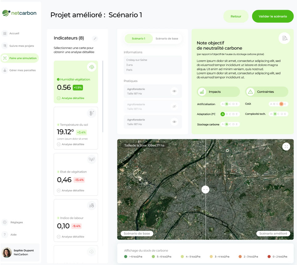
Visual of the application illustrating the use of the SCO 2050 project to improve a development project by taking three issues into account: Artificialization, Adaptation to +2°C and Carbon storage. © Netcarbon
Users
The SCO Target 2050 solution can be used across the board in local authorities (metropolises and communities of communes > 50,000 inhabitants) by meeting the needs of 3 types of players:
- Economic Development Department: estimate the impact of each development project on the environment and analyze its suitability in terms of strategies to combat climate change.
- Environment/Nature Department: to facilitate the definition and implementation of renaturation strategies by providing a tool for knowing what to plant, where to plant it and for what effect.
- Elected representatives: make it possible to report on the impact of renaturation policies, both internally for the purposes of improving the choices made by local authorities, and for citizens in search of transparency. This should be done not through a balance sheet (number of trees planted) but through the impact of actions on climate change (quantity of carbon stored, reduction in heat islands, de-waterproofing, etc.).
Application site(s)
France :
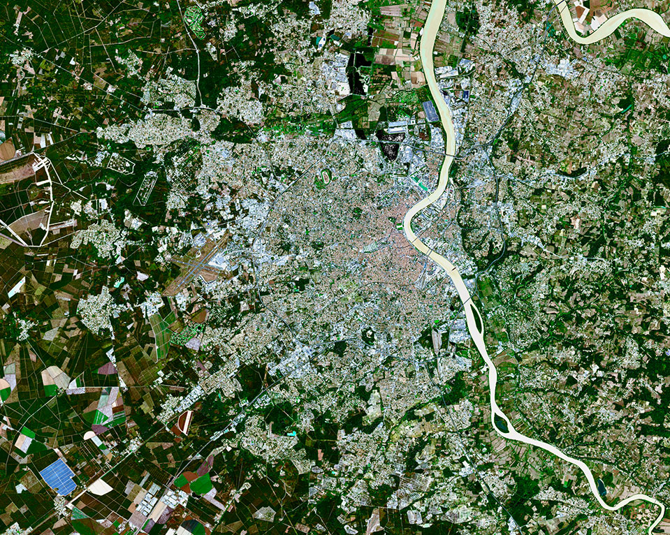
- Territory 1: Bordeaux Metropole
- Territory 2: Croissy sur Seine
Data
Satellite
- Sentinel-2
- Landsat 8 & 9
Other
- Albedo: automated measurements as part of the SCO Sat4BDNB project
- CMIP6: Copernicus Climate Change Service
- BD Ortho: IGN
- PANGEO architecture
- Microsoft Planetary Computer
Results – Final product(s)
To make it easier to use the tool and display and analyze the results, an online module will be available to simulate the impact of a development project and suggest optimized development scenarios. This module will be accessible via the Netcarbon Intelligence application, with a demonstration version for several development projects in France.
Related project(s)
- SCO Sat4BDNB, satellite data for the French National Buildings Database
- SCO GreenSpace, urban tree mapping and planting recommendations
- SCO Green Urban Sat, an observatory of urban vegetation


