

UP NOAH

Nationwide Operational Assessment of Hazards for the Philippines
Overview
UP NOAH was initially established in 2012 as the Department of Science and Technology’s (DOST) integrated disaster prevention and mitigation program. In 2017, management of the program and flagship website was passed to the University of the Philippines under the University of the Philippines, Resilience Institute.
The core of Project UP NOAH’s work is to produce open-source, accurate, reliable, and relevant scientific disaster data, integrated with perspectives from other disciplines to assess risk and prepare communities against hazards.
To move towards this vision, the NOAH website was established, it is a free and open-access platform where anyone from government officials to the general public may access and download the project’s outputs. This includes landslide, flood, and storm surge hazard maps for the Philippines. The downloadable maps and data use the ESRI shapefile format for ease of use in existing GIS software.
Application site(s)
At present, all UP NOAH project outputs are located within the Philippines.
Data
Satellite
- IfSAR digital terrain and digital elevation models sourced from the National Mapping and Resource Information Authority (NAMRIA) of the Philippines.
- Sentinel- 2 images which were used for validation of NOAH flood hazard maps.
Other
- NOAH’s own high-resolution LiDAR digital elevation maps of major river basins in the Philippines.
- Active, Inactive and Potentially Active volcanoes are from Philippine Institute of Volcanology and Seismology.
Results - Final product(s)
The NOAH website can be accessed by the public at https://noah.up.edu.ph/.
|
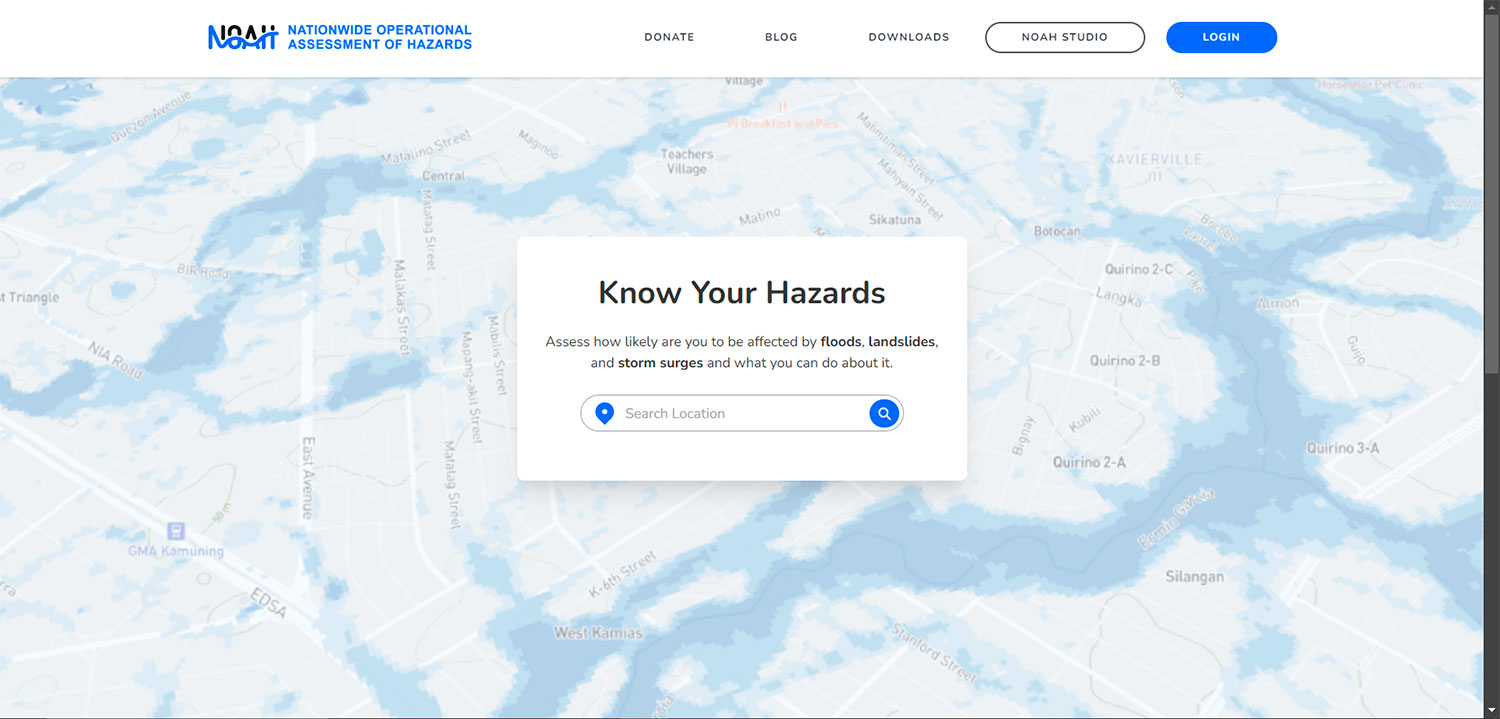
The website features a simple landing page (Figure 1) where people in the Philippines can type in their location. |
▲ Figure 1. NOAH website landing page. © NOAH |
|
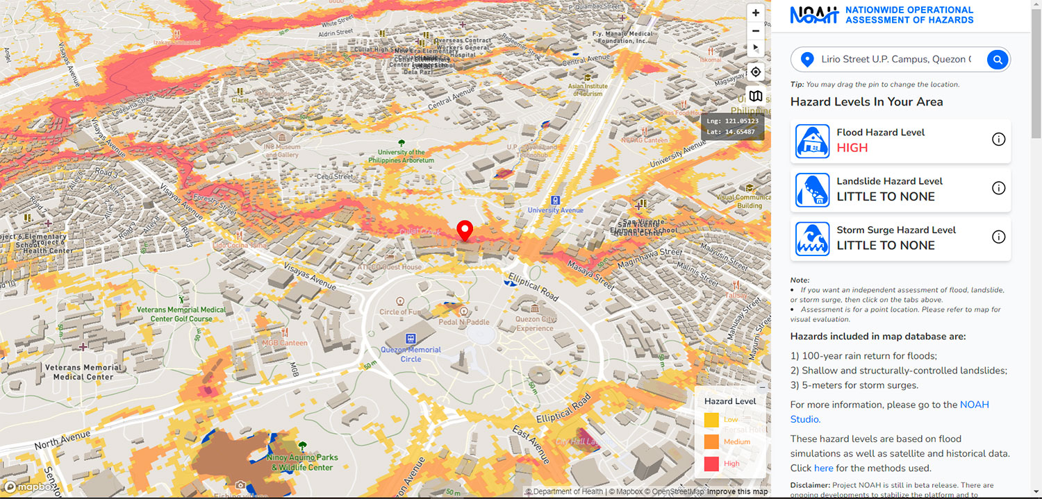
Users will then be taken to a map where they will be presented an overview of the flood, landslide, and storm surge risk in their immediate surroundings (Figure 2). There is also an option to drag the map pin across the map and the displayed risk levels will adjust accordingly. |
▲ Figure 2. Sample of the NOAH website’s hazard maps. © NOAH |
|
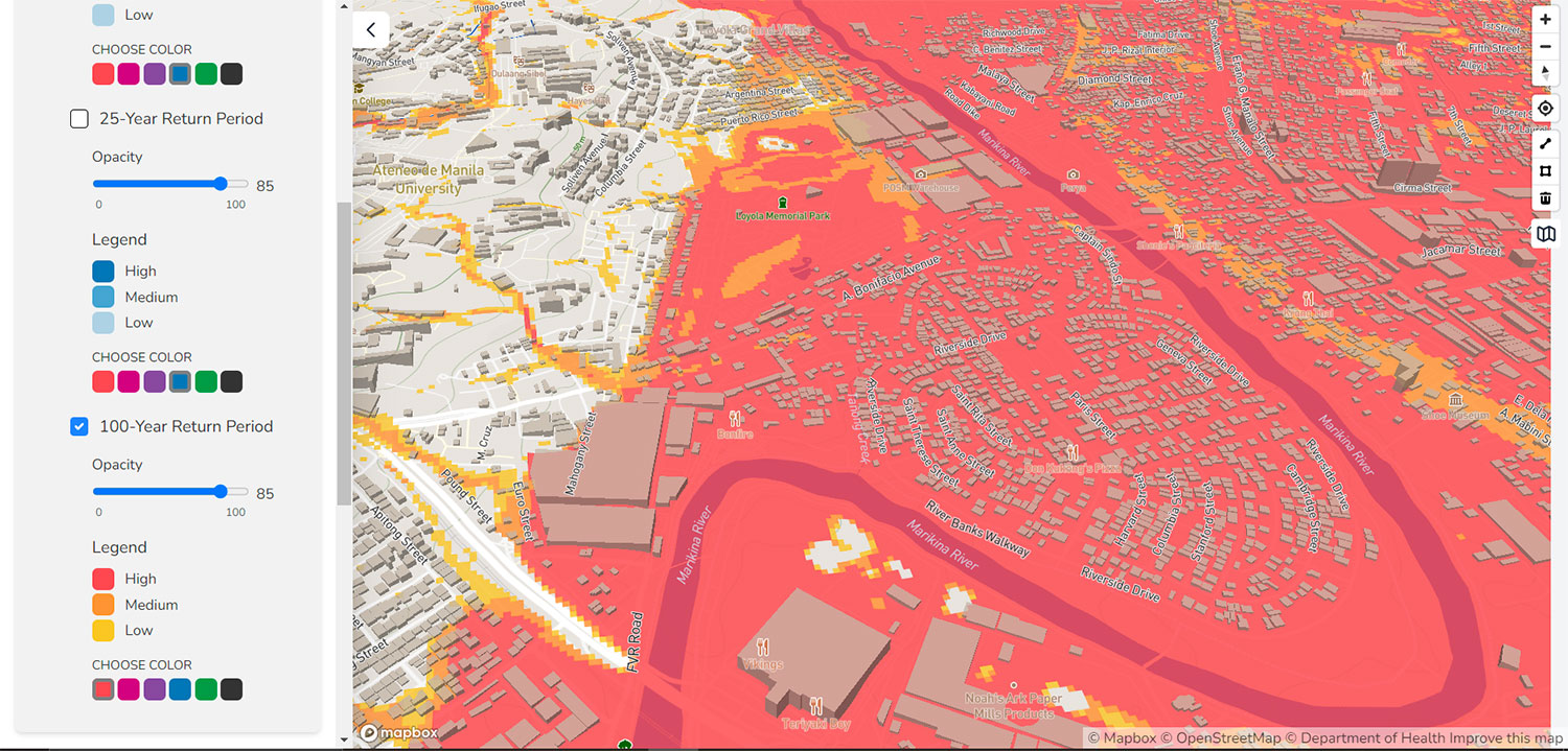
More detailed functionality can be found in the “NOAH Studio” tab. NOAH studio offers users the option to turn off or on the different hazard map overlays generated by UPRI (University of the Philippines Resilience Institute). Users can also opt to choose which return periods for a particular hazard are being displayed on their map (Figure 3). |
▲ Figure 3. NOAH 100-year rain return period flood hazard map along the Marikina River. © NOAH |
The hazard maps and data displayed in the website are also available for the public to download under an Open Data Commons Open Database License. Files for all available hazard maps are in an ESRI shapefile format.
References
Publications related to UP NOAH can be found through the following link: https://resilience.up.edu.ph/publications/
Related project(s)
UP NOAH has provided contributions to various initiatives as part of UPRI’s broader research and extension projects. A full list can be in the following link: https://resilience.up.edu.ph/projects/
Resources
With the exception of the Mapbox logo, full-sized versions of the images found in this template can be found in the following link: https://drive.google.com/drive/folders/1XlBd1xRW_xN3OCDLIrWY4xXRfHmn-Vkn?usp=sharing