

SCOFrance
7Sites visited by the project
Useful linksProject presentation
Key wordsFlooding, urban environment, crisis management, prevention, warning
Pléiades 4 Urban Flood: start-up in situ
Each SCO project is built with and for a user faced with a specific problem, in this case Montpellier Méditerranée Métropole in France, which is seeing an increase in flash flooding. Before embarking on the development of the algorithms, the project team, led by Cerema Occitania, held its first steering committee meeting in a commune of the Metropole, both to understand the needs of the user partners and to get a feel for the reality on the ground.
A two-stage visit
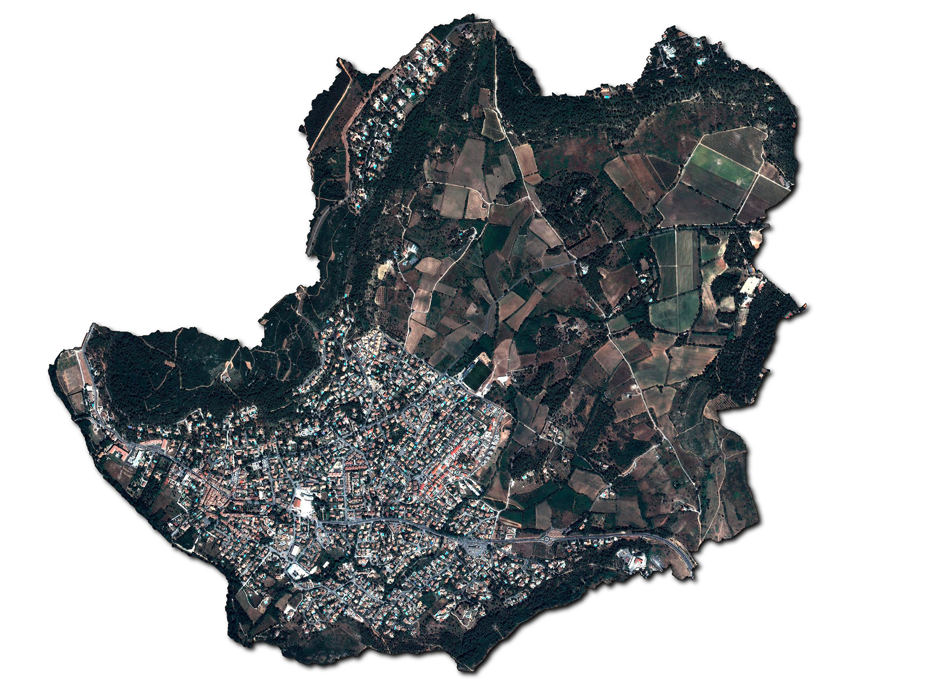
On 14 December 2023, the project partners and technical representatives from the Metropolis met for a day in the commune of Grabels, the P4UF study area. The day was structured around two key events:
- In the morning, the first steering committee meeting was held with all the partners at Grabels town hall;
- In the afternoon, a field visit led by Frédéric Pons, flood and coastal hazard hydraulics expert (Cerema's Mediterranean Territorial Division).
This visit to the city and part of the Rieumassel catchment area gave the Toulouse project partners a better understanding of the areas affected by the flooding on 06/10/2014 and how water flows and circulates in these areas. It should be noted that many disasters outside the flooded areas need to be taken into account in future modelling.
In addition, the P4UF project partners have grasped the main elements used by the Metropolis to combat flooding, actions implemented in collaboration with the construction/project management/maintenance division and the runoff/modelling division:
-
Preventive measures in the field of public works: dykes, widening of watercourses, control by dams, etc;
-
Management of water flows: waterproofing, control of urban development, upstream rain storage;
-
Anticipation, crisis management and awareness: an alert text message is already in place;
-
Shelter" systems (for run-off or overflow): while expropriation is the ultimate solution, preventive measures are first and foremost a matter of voluntary action on the part of citizens, who can create a floor to take refuge in, a crawl space or even put flood-proof socks on doorsteps.
As crisis management is one of the major issues facing the Metropolis, the response to the main needs of the services to continue this fight against flooding consists in particular of proposing warning maps based on scenarios calculated in advance. Up-to-date knowledge of land use is therefore invaluable and, more generally, any up-to-date data is welcome.
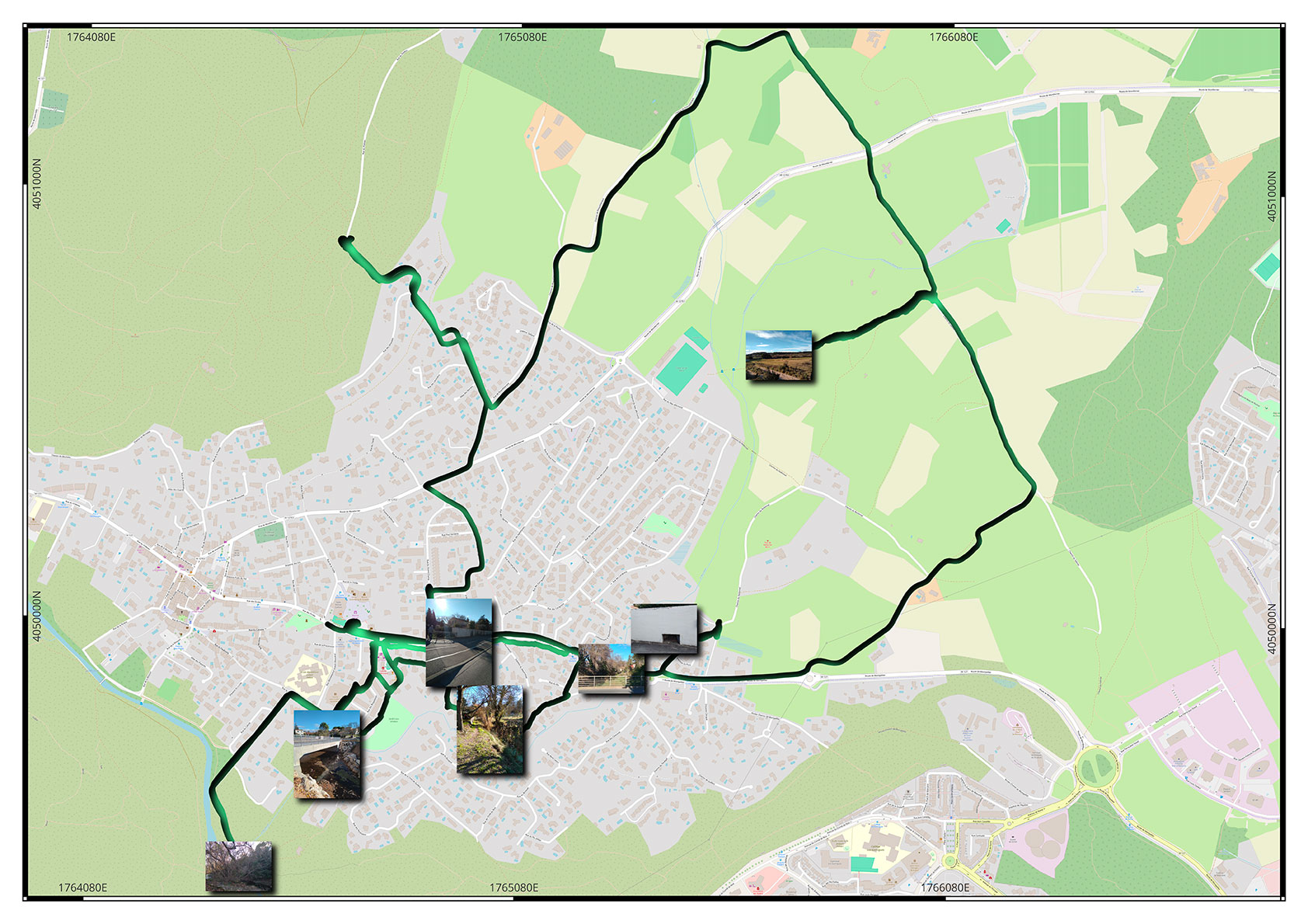
With a tour specifically organized for the project, the P4UF team was able to discover the areas impacted by the 2014 flood and the geomorphology of the catchment area. © Cerema
Next steps
Now aware of the issues and challenges facing Grabels, the project will be continuing to develop land cover layers based on 5 Pleiades monoscopic images over a period from 2012 to 2020, and 2 future Pleiades-Neo summer images to be acquired this year. Between now and this summer, these land cover layers will be used to work on the modelling of urban and hydraulic morphology.