

European data at the heart of SCO projects
The six families of Sentinel satellites of the European Copernicus programme are guarding the best observation posts on our planet. Their data, services and derived products are used in several SCO projects, which were presented on Thursday 20 January 2022 during an exciting and dynamic Quarterly!
On the menu: a personalised presentation of Copernicus Climate Change Services (C3S), followed by the intervention of three SCO project teams using these data: FLAude, TropiSCO and MEO-Climate. Developed in close partnership with the user territories, their tools are well advanced in their operational phase, one of the promises of the SCO. The videos (in French) of each session are available on the French version of this article.
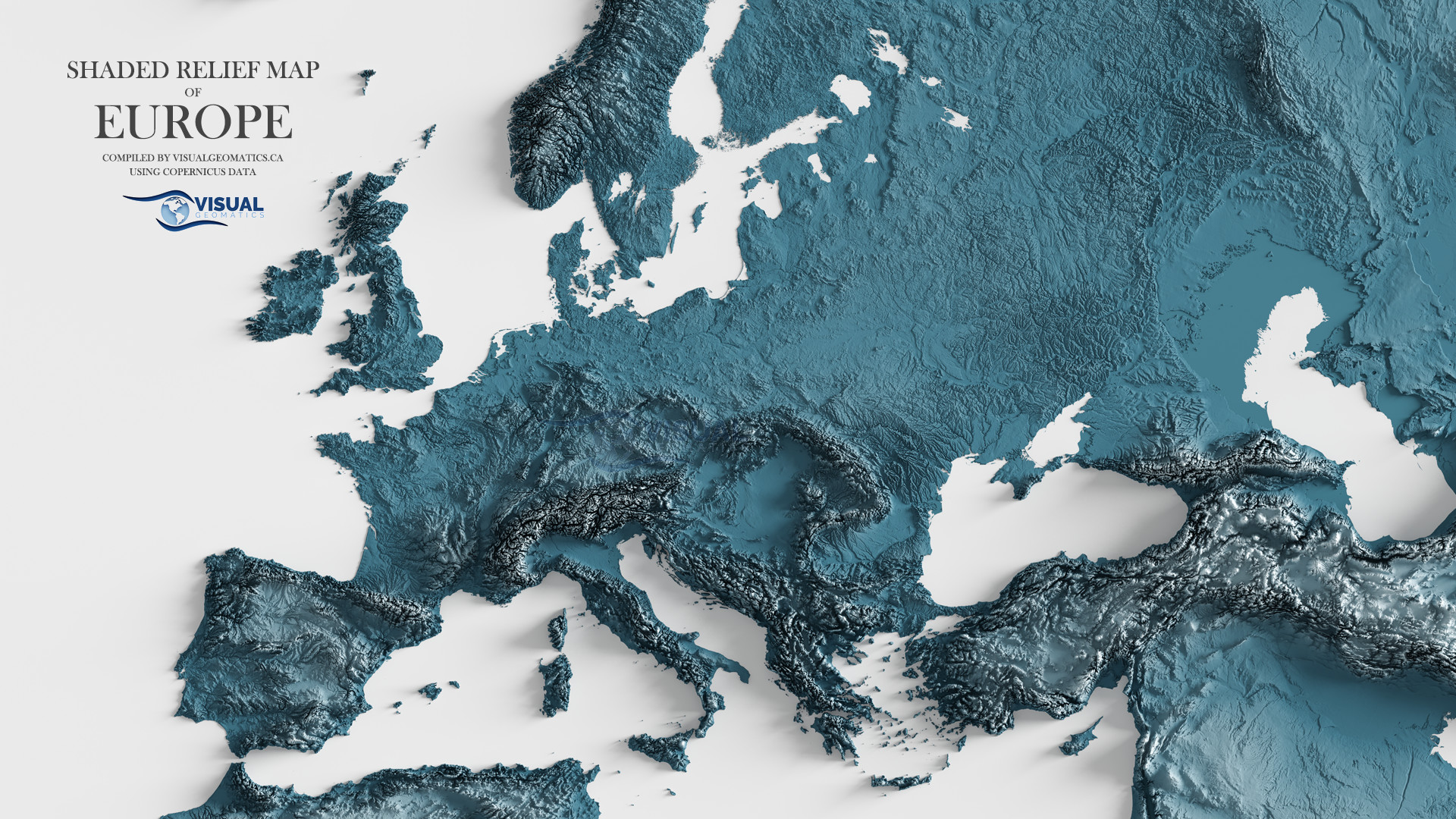
Copernicus data
Chiara Cagnazzo, Head of Sector Information System activities at C3S, supports "the transition from data to information for various sectors sensitive to climate change". The specialist offers an overview of the richness of this programme, which is motivated by society's strong demand for reliable, maintained and quality data.
To remember
- C3S is operational and centralises 6 thematic Earth observation services from different data sources, including the Sentinel satellites. These are past and present data from which possible developments on a regional and global scale can be deduced.
- Everything is available for free, in one place, the Climate Data Store or CDS: data, derived products and services, infrastructure, examples, applications, user support, training sessions...
- Among the expected developments, the CDS is developing a Climate Attribution approach, a service combining observations and climate model simulations to quantify the influence of climate change on a specific event.
FLAude
After a presentation of the project by Gwendoline Blanchet, engineer at the CNES Lab'OT, Adrien Solacroup (SGEvT) gave a live demonstration of the FORO tool, which is already operational in the Aude experimentation area. The aim is to develop risk prevention and reduction indicators to provide decision support to areas affected by extreme hydrometeorological events.
To remember
- Using high and very high resolution satellite imagery, the FLAude project has developed a method for automatic detection of flood impacts (logjams, damaged vines).
- Sentinel-2 data were used in particular for the analysis of past extreme hydrometeorological events, climate forecasting and the replicability part. Other types of Copernicus data were also used, such as land cover.
- In addition to the maps, whose data layers can be compiled, the FORO platform offers a multi-source knowledge base (scientific, legal, territorial, etc.)
- The method is transferable to other territories.
- If you wish to express your interest in FORO: contact.foro@tereval.fr
TropiSCO
Led by Stéphane Mermoz, manager of the GlobEO company, the audience was given a remarkable demonstration of the TropiSCO tool, which offers fine-grained monitoring of tropical deforestation. A questionnaire for users showed that the tool meets all the needs expressed, whether in terms of use, frequency or area.
To remember
- Based solely on Sentinel-1 radar data, TropiSCO provides automatic detection of tropical deforestation every 6 to 12 days, regardless of weather conditions.
- The web interface is currently being developed to visualise the evolution of deforestation since 2018 in the three experimental territories: South-East Asia, Amazonia and Gabon.
- The maps can be downloaded free of charge. A simple click on a region or country brings up the corresponding monthly and annual statistics.
- TropiSCO is in synergy with several SCO and other projects in which it is involved.
MEO-Climate
MEO-Climate assists territories in defining and implementing their climate plans (PCAET) in response to government directives. Alongside local actors, the team of Thomas Ferrero, founder of the MEOSS company, has developed three tools to meet the adaptation needs of rural territories: energy transition, water management and soil sensitivity to erosion. Here again, the demonstration of the interface is very telling.
Things to remember
- The project is fully in line with the objectives of the SCO: to limit the effects of climate change and to adapt to the resulting changes.
- MEOSS has developed its decision support indicators using Copernicus radar and optical data, whose spectral richness and repeatability are ideal for monitoring a territory.
- The fact that Copernicus data is free of charge supports the business model developed.
- The method is adaptable to other territories, and several have already shown interest.